
Designing Safer Outdoor Mobility for Dogs in Cities
Explore how geofencing, hazard detection, route design, and human oversight can make connected urban dog walks safer.
Why Urban Dog Walks Require More Than Navigation
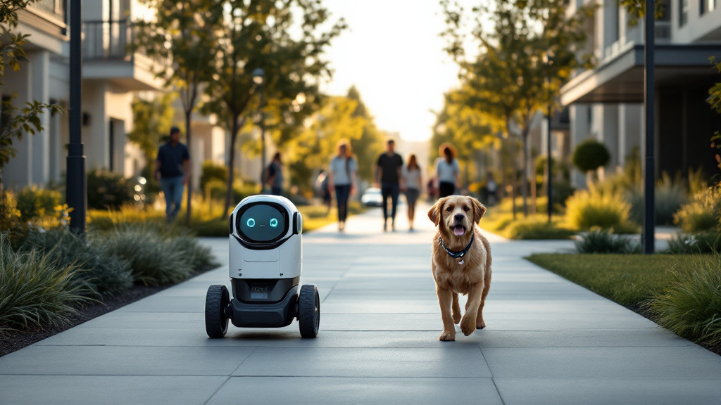
Urban walks expose dogs to a constantly changing mix of environmental and behavioral risks. Traffic, bicycles, scooters, broken pavement, construction zones, loud machinery, and crowded sidewalks can turn a familiar route into a hazardous one. Dogs may also react unpredictably to unfamiliar animals, children, delivery vehicles, or sudden sounds. These challenges make urban petcare different from simply moving an animal from one location to another.
Safer outdoor mobility begins with designing routes around a dog’s needs rather than relying on the shortest path. Approved sidewalks should have adequate width, predictable crossings, safe surfaces, and locations where a dog can pause without blocking pedestrians. Route planners should also account for time of day, weather, community activity, and temporary disruptions. For robotics and smart cities, this means treating the walking environment as dynamic infrastructure. A connected system such as PawPilot Robotics can combine mapping data, local rules, and live observations to guide dogs through controlled spaces while keeping human judgment central to the experience.
Building Safety Into Routes, Sensors, and Geofences
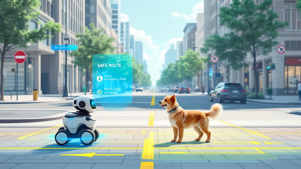
A safer autonomous walk depends on multiple layers of protection working together. Geofencing defines where a robot may travel and can restrict movement to approved sidewalks, private communities, or designated exercise loops. Route rules can identify crossings, narrow sections, steep slopes, restricted areas, and safe stopping points. Because city conditions change, the system should support temporary closures and route updates rather than treating a map as permanently correct.
Sensors add awareness at street level. Cameras, GPS, depth sensing, and obstacle detection can help identify cyclists, vehicles, pedestrians, curbs, pets, and construction barriers. However, detection should lead to conservative behavior: slowing down, stopping, creating distance, or returning to a safe point when uncertainty is high. Secure leash control, harness checks, emergency stops, and automatic return behavior provide additional safeguards. In urban petcare robotics, safety is strongest when no single sensor or software rule carries the entire burden. Redundant systems, routine testing, and clearly defined failure responses help make geofencing and autonomy more dependable in real-world conditions.
Keeping Human Oversight at the Center
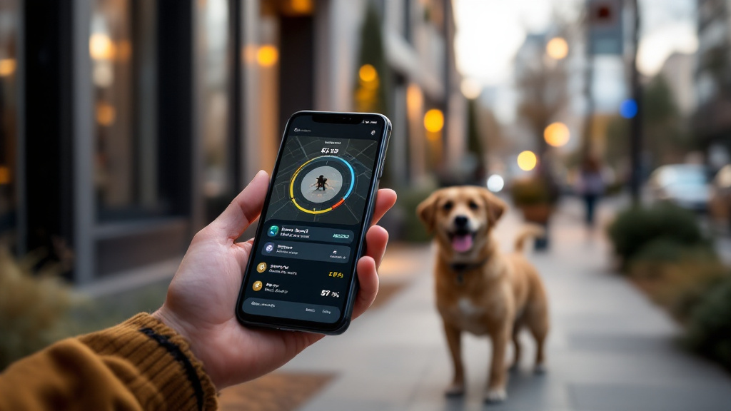
Autonomy should extend a caregiver’s reach, not remove people from the safety process. Owners and trained operators need clear visibility into a walk’s location, route progress, activity level, and current surroundings. A mobile app can provide live alerts, video and audio access, walk history, and direct communication with the system. If a cyclist approaches too closely, a dog becomes distressed, or a route is blocked, remote supervision should support an immediate pause, reroute, or return decision.
Good human oversight also requires thoughtful escalation. Routine events can produce simple status updates, while serious hazards should trigger prominent alerts and a reliable manual override. Operators need enough context to act without being overwhelmed by notifications. Over time, aggregated activity data can reveal patterns such as frequently blocked sidewalks, stressful locations, or routes that consistently cause delays. PawPilot Robotics and similar connected petcare systems can use these insights to improve route planning and community operations. The goal is not to promise risk-free walking, but to create measured, transparent, and adaptable mobility that gives dogs consistent exercise while respecting the realities of city life.